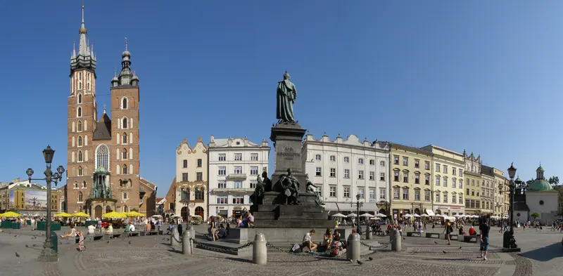
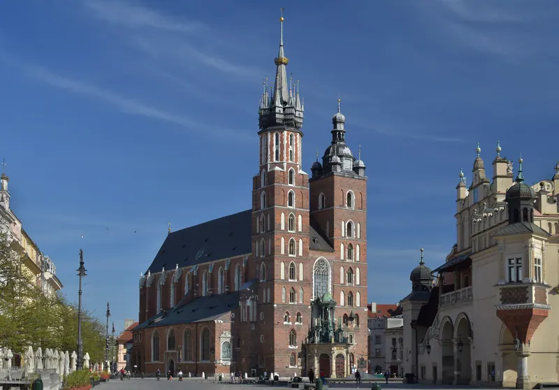
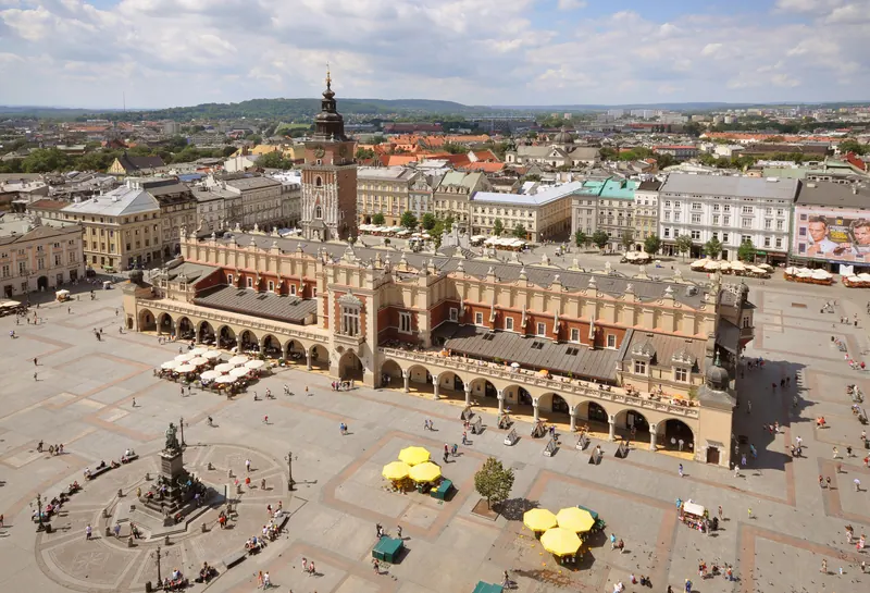
Kraków’s medieval shape was drawn on a single day. On 5 June 1257 Duke Bolesław V the Chaste granted the town a location charter under Magdeburg law, and the surveyors laid a chessboard of streets around a market square of roughly 200 by 200 metres — about four hectares, and the largest medieval town square in Europe. The grid is still there, and so is the square: everything in the Old Town is measured off it.
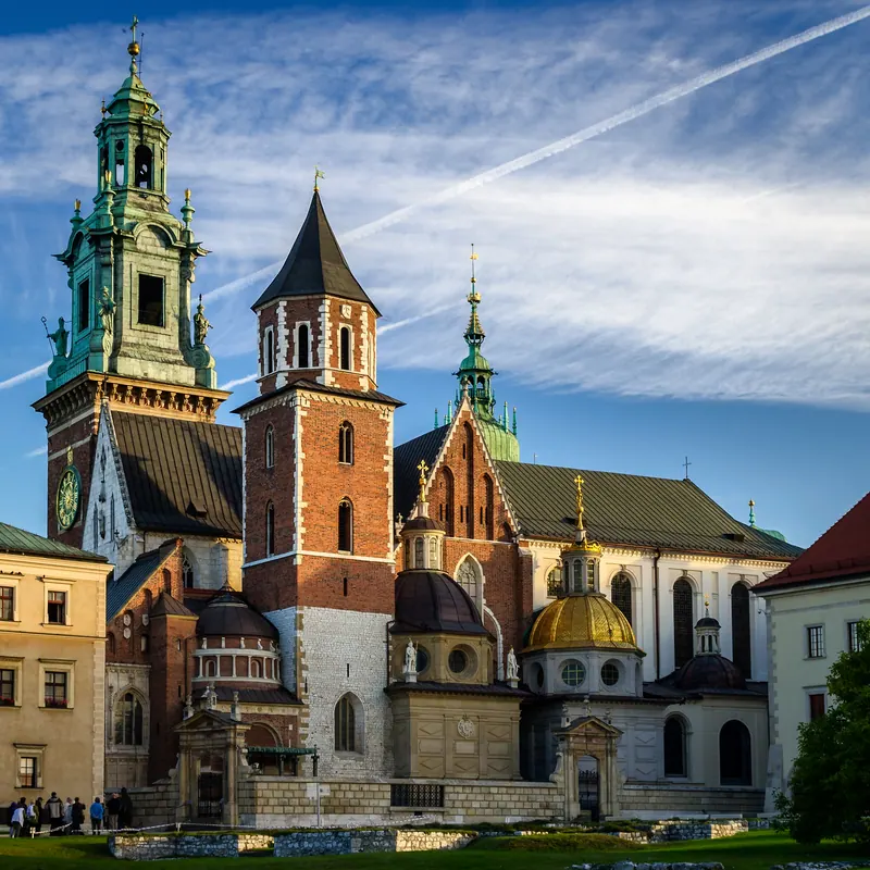
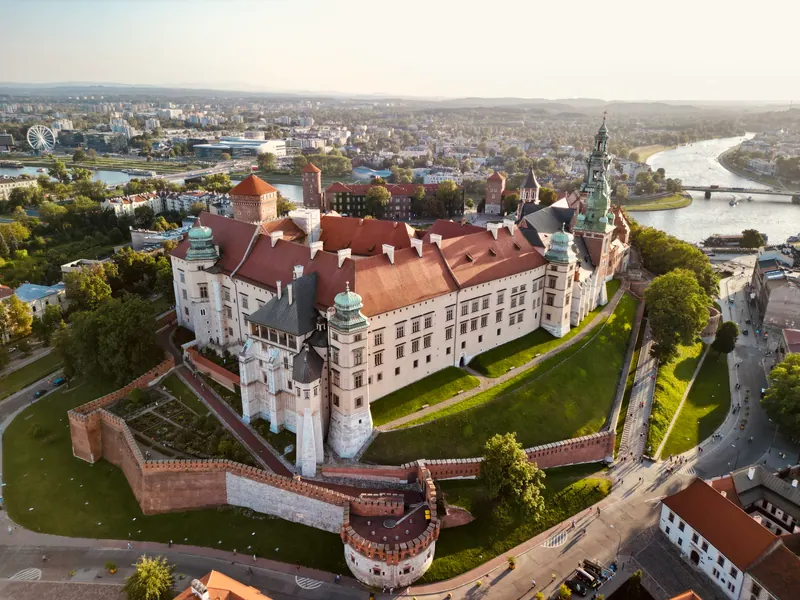
South of the grid stands Wawel, the limestone hill above the Vistula that carried the royal castle and the cathedral. Polish kings were crowned in the cathedral from Władysław Łokietek in 1320 to Augustus III in 1734, and most of them are buried under its floor, alongside the Romanesque crypt of the cathedral that burned in 1305. The castle beside it was rebuilt as a Renaissance palace from 1507; the court left for Warsaw in 1596, which is one reason so much medieval fabric survived here rather than being modernised away.
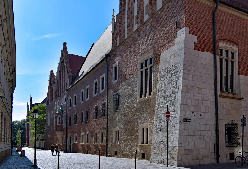
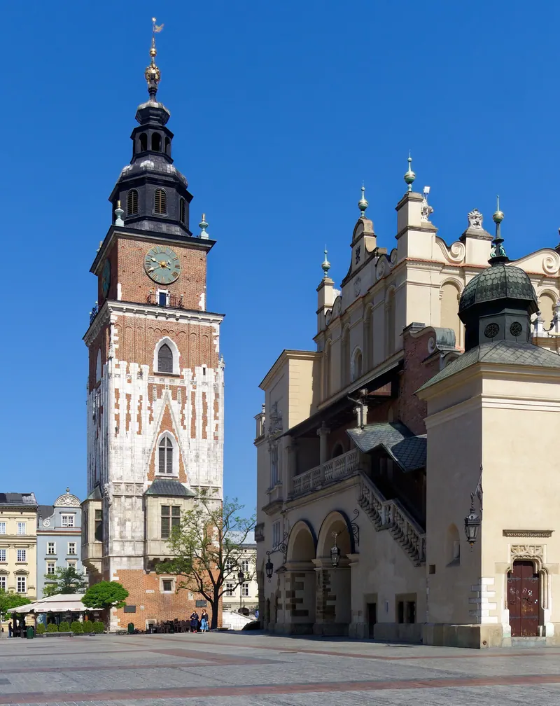
The town lived on trade and on learning. Cloth merchants traded from the stalls in the middle of the square — the Sukiennice — on a route that linked the Baltic to Hungary, and Kraków was a member of the Hanseatic League. In 1364 Casimir III the Great founded a studium generale here, the second university in central Europe after Prague; it was refounded in 1400 with the jewels Queen Jadwiga left for the purpose, and Nicolaus Copernicus matriculated in 1491.
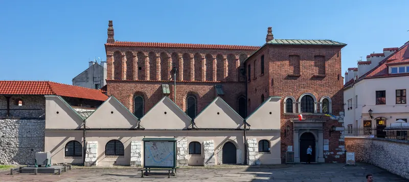
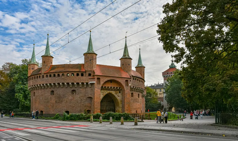
What is missing is the wall. Kraków began fortifying itself after the Mongol raids of the 13th century and ended up with about three kilometres of wall, dozens of towers and eight gates. The Austrians pulled almost all of it down between 1810 and 1814 and planted the Planty gardens on the line; what survives is St Florian’s Gate, three towers and the Barbican of 1498–99. The medieval town hall went the same way in 1820, leaving only its tower. Kazimierz, founded as a separate town in 1335 and Jewish Kraków’s home for four centuries, kept its synagogues but lost its people between 1941 and 1943.