Visby’s wall is two campaigns and a heightening. The seaward stretch went up around 1250, tying together two free-standing 12th-century harbour towers; one of them, Kruttornet, was built about 1160 and is the oldest standing building in the town. The landward wall followed in the 1270s and 1280s, and its gate towers are dated by their timbers: Österport in 1286, Norderport about 1289, Snäckgärdsporten in 1294. That side faced inland for a reason — the town and the Gotland countryside fought a civil war in 1288, and the wall was built as much against the island’s own farmers as against the sea. In the 1350s the whole circuit was raised by three to four metres and about twenty saddle towers were added along the top, which is the profile you see today.
What survives is 3.4 km, up to 11 m high, with 27 of the original 29 ground towers and nine of the saddle towers. It is the reason “Hanseatic Town of Visby” went onto the UNESCO World Heritage List in 1995.
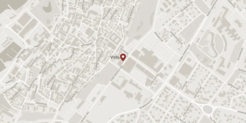
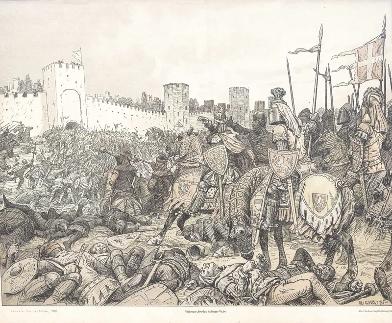
The stretch to walk is the landward side, from the outside. From Norderport south to Österport and on to Söderport the wall is at its tallest and the towers stand closest together, and the old moat ground — Nordergravar and Östergravar — is now open grass, so you can stand well back and take in the full height. Two things to look for on that walk. Just north of Österport, a patch of newer masonry marks where about 70 m² of the outer shell fell away on 24 February 2012: cement mortar from an earlier repair had trapped water, ice did the rest, and the National Heritage Board rebuilt it in lime mortar, finishing in 2015. On the seaward north-west side stands Jungfrutornet, a 15th-century tower whose name local tradition explains by a goldsmith’s daughter walled up alive for betraying the town to Valdemar Atterdag in 1361; the duller and likelier explanation is that the tower is shaped like the old jungfru liquid measure, broad at the base and narrowing upward.
The wall is owned by Region Gotland and cared for by the National Heritage Board. It is not gated and not ticketed — it is simply the edge of the town, and you walk up to it.