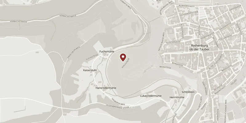
In 1142 King Konrad III, the first Hohenstaufen king, took the spur above the Tauber and built the Rote Burg — the red castle that gave the town its name. By 1167 it was being called a castrum imperiale. This is where Rothenburg starts: the town grew up in the shadow of an imperial castle, then bought its way out of dependence and was made a free imperial city on 15 May 1274.
Then the castle vanished, and the town’s own sources disagree about how. The standard account, on the town’s history page, is that an earthquake in 1356 brought it down and that the stone — valuable building material — went into the town wall. The tourism office’s own page on the Burggarten now doubts the earthquake and suggests the citizens simply quarried the ruin themselves as the free city expanded its defences. Either way the conclusion is the same and it is the best thing anyone can tell you here: the castle is not missing, it is redistributed. You already walked on it.
What survives on the spur is the Blasiuskapelle, the castle’s chapel, repaired after the destruction and now a memorial, with a plaque setting out the plan of the fortress that stood around it. You enter through the Burgtor, the tall gate at the west end of the Herrngasse, with viewing balconies built out on either side of it.
The garden itself is honest about its age: it is an English landscape park, a 19th-century layout on a 12th-century site, not a medieval garden. It earns its place on the view. North you look down on Detwang and the Topplerschlösschen; south over the Kobolzeller church, the Doppelbrücke and the Spitalviertel; and west the Tauber valley opens up and takes the sunset.