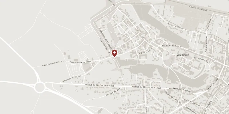
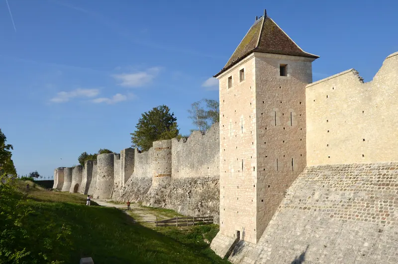
The full circuit was about 5 km and enclosed both the upper and the lower town. Roughly 1.2 km survives, on the west and north sides of the Ville Haute; the rest was quarried for building stone, and on the east side the Allées d’Aligre, a tree-lined boulevard, now runs where the wall stood. What is left is one of the most complete stretches of urban fortification in France, and the counts of Champagne built it for a commercial reason: the fairs brought merchants carrying goods and money, and the wall was part of what the counts were selling them.
The reason to walk the outside is the towers. In this one stretch you can see round towers, rectangular towers, almond-shaped ones, octagons, hexagons and trapezoids, put up over roughly two centuries as siege engineering changed and each generation of masons tried the current answer. It is a catalogue of 12th- and 13th-century military design in about twenty minutes of walking. The big corner tower is the Tour aux Engins. Take the allée des Remparts and the allée des Lépreux; steps in places drop you into the ditch, which is where the wall’s height reads properly.
The two surviving gates are the point of entry in both senses. The Porte Saint-Jean (12th century) guarded the Paris road and is the grander of the two, a pair of massive towers over a passage. The Porte de Jouy is plainer — two towers set as buttresses either side of a pointed arch — and gives the better view down onto the roofs of the town. At both gates you can get up onto the wall from the inside.
Restoration of the ramparts ran from the 1970s until September 2022 and finished with a new LED lighting scheme, so the west front is lit after dark. Access is free all year, via rue Saint-Jean and rue de Jouy. The two long-running rampart shows are staged on this same front: the equestrian one just outside the Porte Saint-Jean, the falconry one at the Cours aux Bêtes.