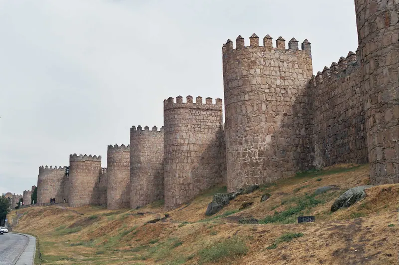
Alfonso VI took Toledo in 1085 and the Castilian frontier lurched south, leaving Ávila to be resettled as a garrison town on an exposed plateau at 1,130 m. Tradition dates the start of the wall to 1090 and credits the king’s son-in-law Raymond of Burgundy; most of the granite you will put your hand on is 12th-century. It was declared a National Monument in 1884, and the old town inside it went onto the UNESCO list in 1985.
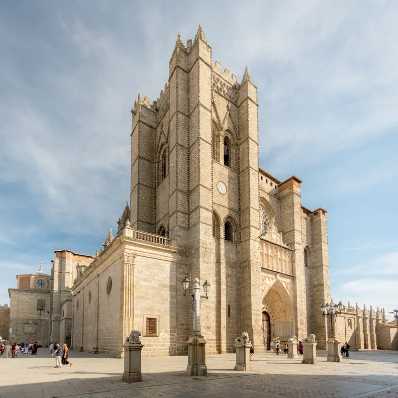
The official figures, from the city’s own wall service: 2,516 m of circuit, 87 towers, nine gates and about 2,500 merlons, averaging 12 m high and 3 m thick. There were 88 towers — one was taken down in the 16th century to make room for the cathedral’s chapel of San Segundo, which is the sort of trade a town makes once it has stopped expecting a siege. The two great gates on the east front, San Vicente and the Alcázar, are the ones to stand under before you go up: paired drum towers linked above the arch by a high bridge, built as a single defensive block rather than as a gate with towers beside it.
What you can actually walk is about 1,700 m of the 2,516. The adarve — the walkway on top — is fitted out along the east side from the cathedral apse, round the north through the Puerta del Carmen, and along part of the west as far as the Cubo de la Malaventura. The southern stretch, from Cubo 53 round to the Puerta de la Santa, has never been prepared for visitors and the official route description says so plainly. There is no loop. You walk out and back, or from one access point to another and down.
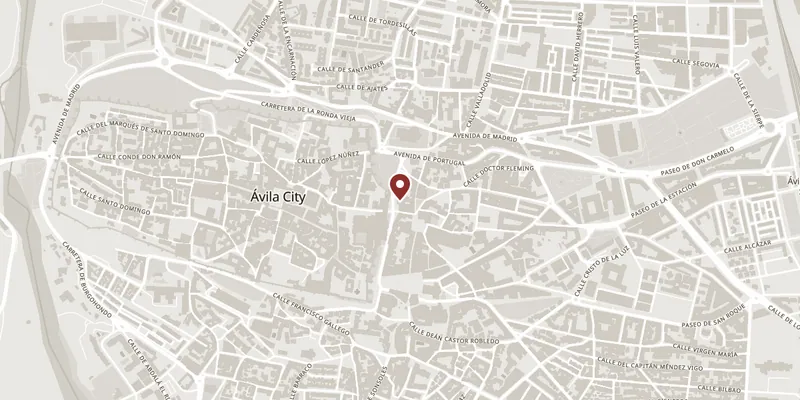
Access is by ticket at the Casa de las Carnicerías, beside the cathedral apse — the main entrance, and the one with ramps and a lift — and at the Puerta del Alcázar, the Puerta del Puente by the Adaja and the Arco del Carmen. Not all four are staffed in every season. About 200,000 people a year make the walk.